Streetwave

Independent Spectrum Mapping

Get an accurate understanding of mobile coverage to better inform local planning through overlayed spectrum mapping.
VISIT STREETWAVE

Visualise and Understand Mobile Network Coverage

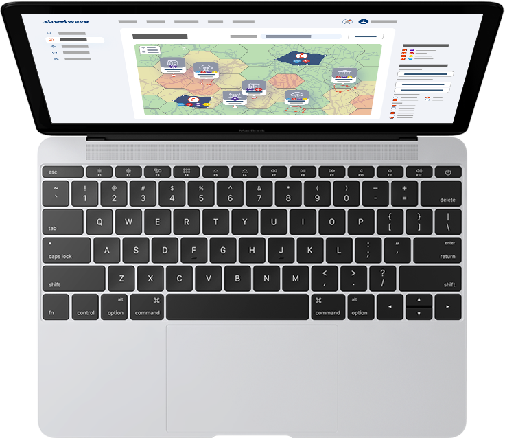
Streetwave is creating an independent spectrum map to continuously monitor and check the use of radio waves. This includes creating voice and data coverage maps to access an accurate view of 4G and 5G speed and coverage landscape.
VISIT STREETWAVE

Benefits

Visualise the coverage landscape for collected frequencies – including 2G, 3G, 4G and 5G bands.

Discover areas of strong signal and areas of no signal.

Unearth holes in the Emergency Services Network.

Increased coverage through offering assets/locations for radio stations placements in ‘notspots’.

Examine frequencies and spectrum bands of interest to you through customisable coverage monitoring.

Prioritise coverage areas for improvement in relation to other factors such as population density.

Monitor the Electromagnetic radiation levels in your area.

Features

Streetwave uses an online website application to visualise its collected information in an easy to understand and explore format.

The web app will provide you with the tools necessary to really examine the coverage landscape.

Overlay your own datasets and visualise them alongside our coverage data.

Streetwave’s built-in analytics methods highlight interesting insights in the coverage data.

Generate reports based on real data to give you a breakdown of the coverage landscape relative to all contributing and impacting factors.
Part of the global Alacrity Entrepreneurship Programme

Contact

+44 (0) 7511 700292Contact UsFAQsSocial Impact
Alacrity Foundation, Alacrity House, Kingsway, Newport, NP20 1HG
© copyright Alacrity Foundation 2024
Privacy PolicyTerms and Conditions
laptop-phonerocket linkedin facebook pinterest youtube rss twitter instagram facebook-blank rss-blank linkedin-blank pinterest youtube twitter instagram